
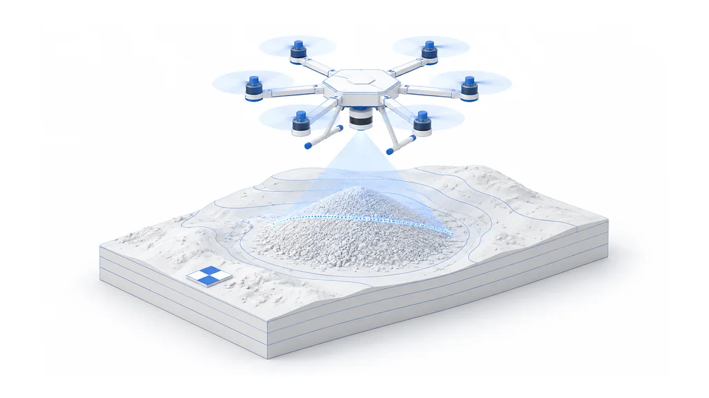
What is land surveying and mapping?
Land surveying and mapping is the work of measuring the shape, elevation, and features of a piece of ground and turning those measurements into a record that others can use for planning, construction, or monitoring. The object of work can be a construction site, a quarry face, a stand of trees, or a strip of farmland. The finished result is a map or model: an orthomosaic photo map stitched from overlapping images, a topographic map with contour lines, a 3D point cloud of the terrain, or a volume report stating how much material sits in a stockpile or has been removed from a quarry.
A finished job must meet a stated accuracy, usually given as a horizontal and vertical error measured in inches or centimeters, and it must cover the full area the client defines, with no gaps in coverage. Where the ground is covered by trees or brush, the map must show the bare ground beneath the canopy, not just the treetops. Volume reports must match the measurement method the client expects, so repeat surveys over time can be compared fairly.
Until recently, crews walked the site with GPS rovers and total stations, planting markers and taking point readings one at a time, or hired a crewed aircraft to fly LiDAR or camera equipment over large areas. Ground crews are accurate but slow over big or rough sites; crewed aircraft cover ground fast but cost more per flight and are harder to schedule often. Many surveys today combine a few ground control points, measured by hand for accuracy, with faster aerial data collection to cover the rest of the site.


